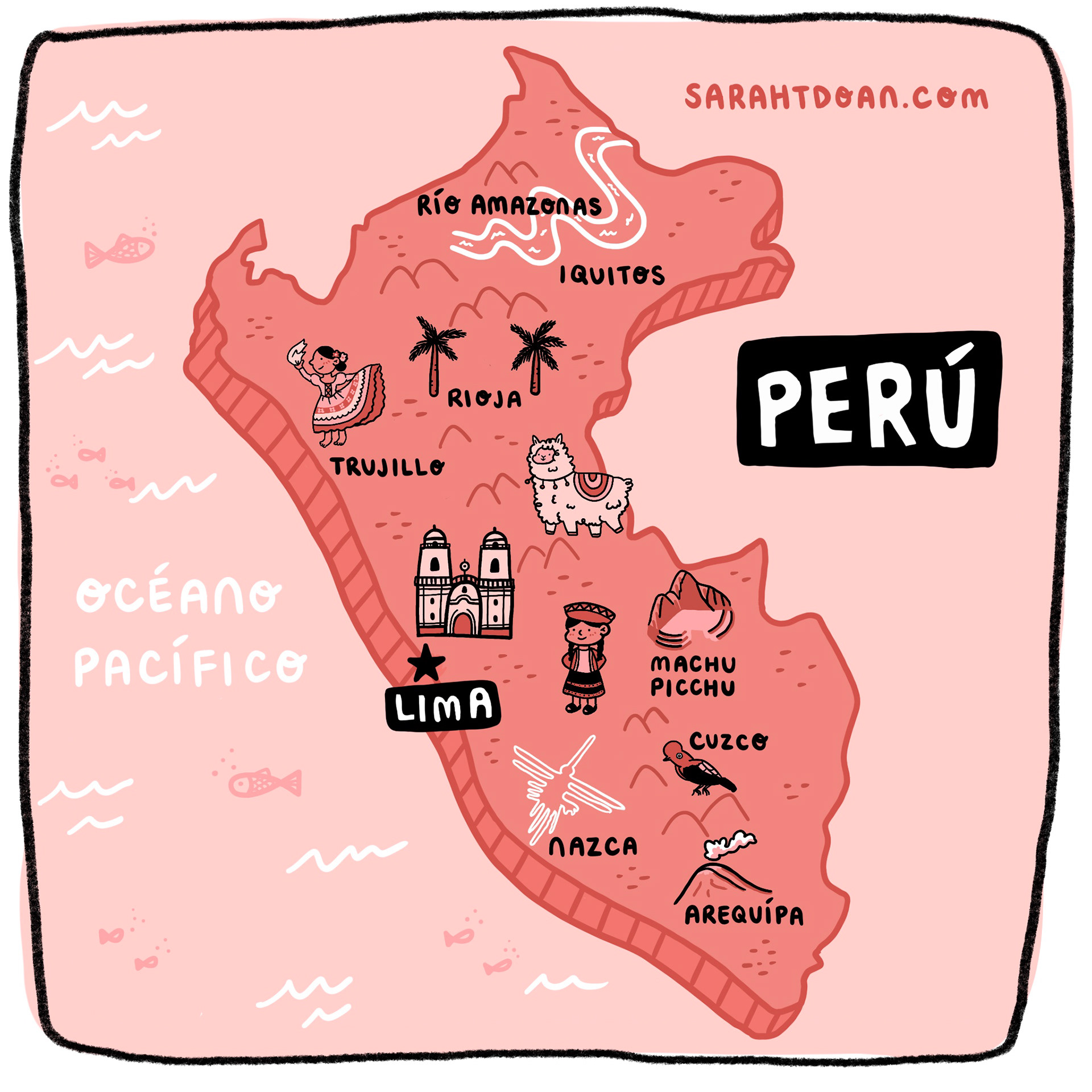
[Image Description: Perú country illustrated map map is colored in a dark pink and the Pacific Ocean colored in light pink. The map includes various cities in Peru (Rio Amazonas, Iquitos, Trujillo, Rioja, Lima, Machu Picchu, Nazca, and Arequipa). In each city there is an illustration based on the city. The illustrations include the Amazon river, palm trees, a woman dancing The Marinera, llama, cathedral, Nazca lines, Incan woman, Machu Picchu, Andean cock-of-the-rock bird, volcano. In the ocean there are water waves and fish. Peru is written in white on a black rectangle and the country is isolated from the rest of the South America map.]